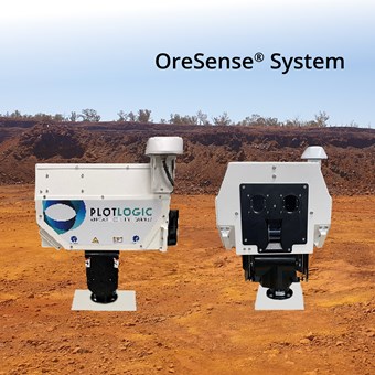
The OreSense® system fuses data in real-time from LiDAR, hyperspectral imaging, and advanced algorithms, to deliver centimetre grade control and mineral mapping. Using the OreSense® system mining companies are able to:
- Identify mineralogy, ore grade and deleterious materials to clearly define ore/waste boundaries and improve their geological model.
- Increase revenue and productivity through selective mining.
- Enhance plant performance and materials handling through optimised scheduling.
- Facilitate remote working and early identification of hazardous materials.
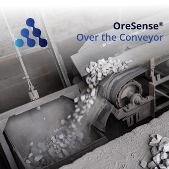
* All products may not be available at all stores, countries and regions.
Social - Connect with us


Contact information
Plotlogic
Email us Visit our websiteBrochure
Download our brochure and find out more about our latest product offering, sales and promotions.
Download brochure
Our partners
Proudly supporting Australian Made Campaign and the strength of the logo